


HOME | home
Chautauqua Sleigh Rally | Maxwell's Thistledown Kennel | Roadsho Kennels | Beth's Iron Cooking Pages | Twa Corbies | Stedman Corners, NY | Maxwell Family | 7th Annual Jamestown Regional Celtic Festival | Boyle Family Page | Turlough Og O'Boyle | Barpa Langass | Saint Mary's Chapel | Chautauqua County | Photos of Chautauqua | Boyle'sPets | Beth Boyle's Rock Garden | More Garden Photos
Photos of Chautauqua County
County, New York
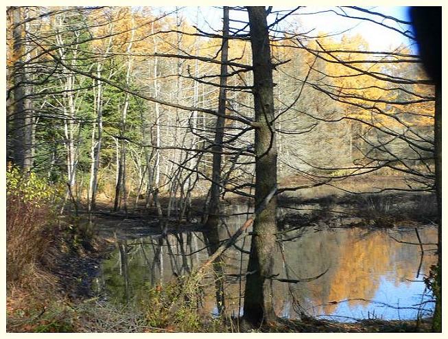
 West Overland Trail, Brokenstraw State Forest
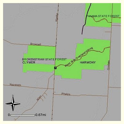
The Chautauqua West Trail (N)
Chautauqua County
The Chautauqua West Trail is a 15 mile long footpath that utilizes State Forests, Chautauqua County land and easements over intervening private land. This trail is a project of the Chautauqua County parks department and is marked over its length. The State Forests are shown on the county road map. It extends between Mt. Pleasant State Forest on the north to the North Harmony State Forest on the south. The terrain is essentially flat, making it suitable for novice use.
The northern end is approached by taking State Route 430, 2 1/2 miles southwest from Mayville. The southern end is found on State Route 474, 1 mile west of Panama. The trail is identified where it intersects major highways. Detailed map available from Regional Forester, Region 9.

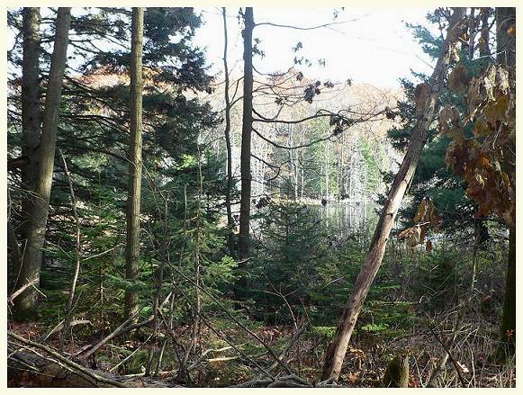
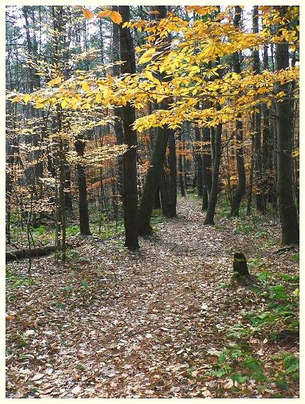
 Veiw from the Forestry Road, Brokenstraw
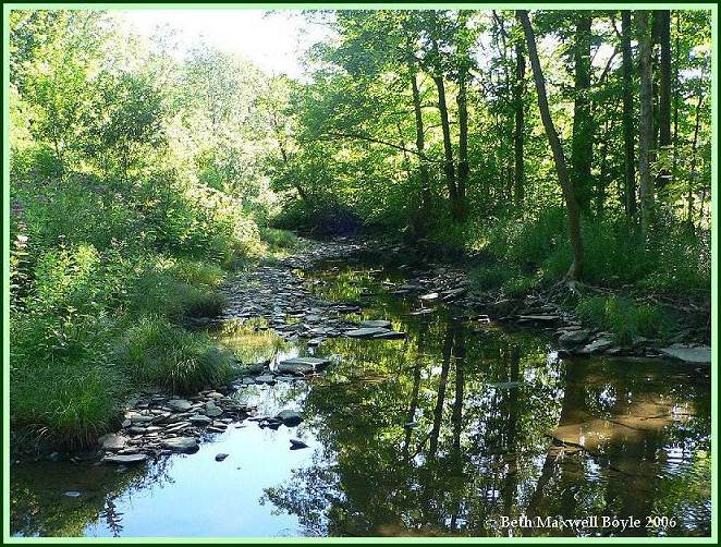
 Prendergast Creek as it passes through Stedman, on Seymour's Farm
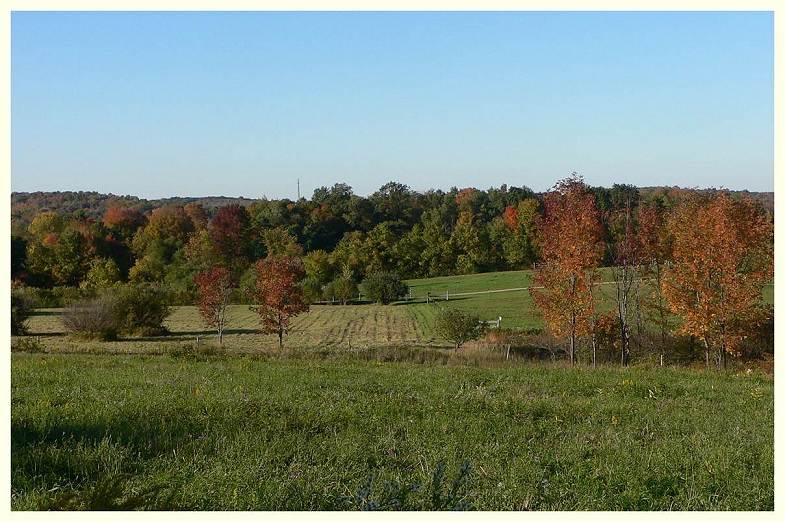
 North View from Hulls Farm, Stedman Corners
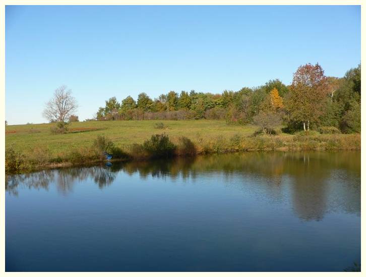
Hull's pond, Stedman
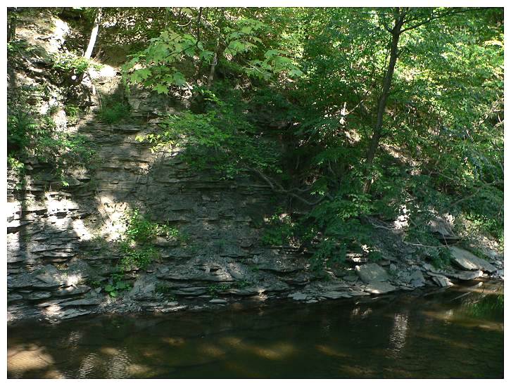
 Skunk Hollow, Predergast Creek, Stedman
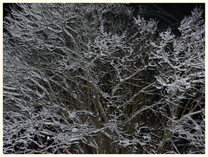
 Mrs. Twitchel's Lilac in snow, Stedman
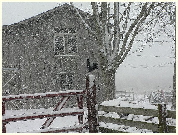
 Thistledown Croft, Stedman
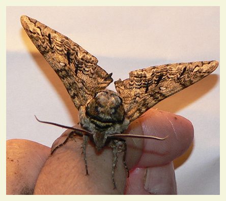
 Waved Sphinx spotted in Stedman July 11th, 2007
Ceratomia undulosa
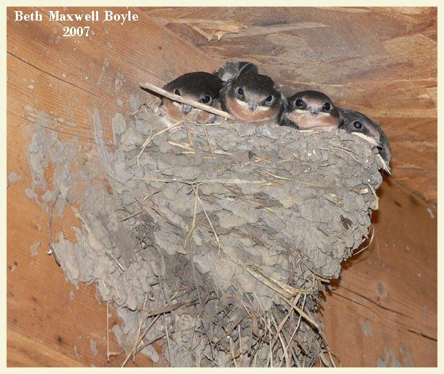
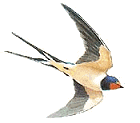 Barn swallows two days before leaving the nest in Boyle's Barn Loft
Hirundo rustica
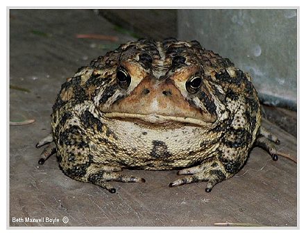
 AmericanToad in Stedman, July 21, 07
 Bufo americanus
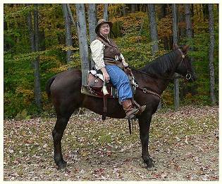
Most of these photos were taken from the back of my Morgan Mare in 2006 and 2007
I hope you enjoyed them.
Yours truly, Beth


copyright 2006 , Jim & Beth Boyle, All Rights Reserved
No part of this website may be used for any purpose ( including using images )
without written consent from The Rams Horn